Monsoon Surges Into Central India as Heatwave Grips the East: A Split Weather Map
The India Meteorological Department reported the monsoon advancing into Gujarat and central India on 24 June even as severe heat scorched the east, leaving the country under a sharply divided weather pattern.
The NE Times National Desk
Commentary & Analysis ·
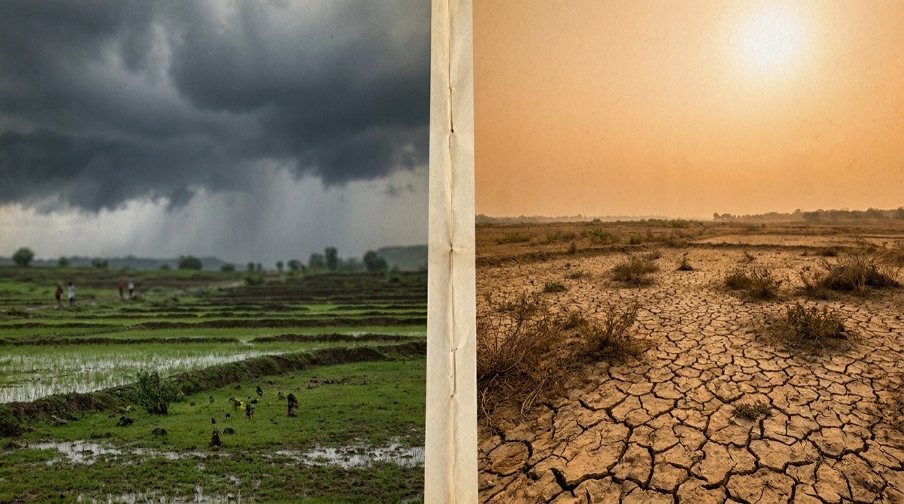
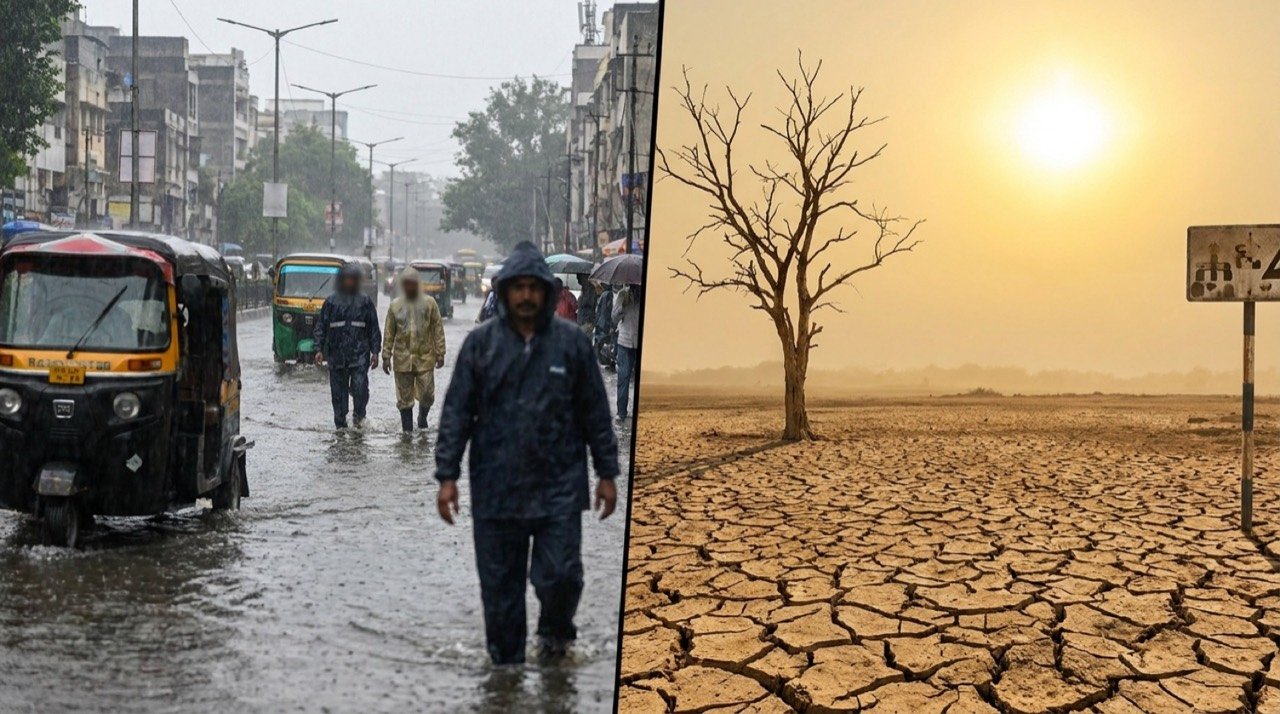
India presented a starkly divided weather picture on 24 June, with the southwest monsoon gaining momentum across the west and centre of the country while a stubborn heatwave continued to bake central and eastern states. The contrast left tens of millions waiting for relief even as others braced for heavy downpours.
Monsoon gains ground
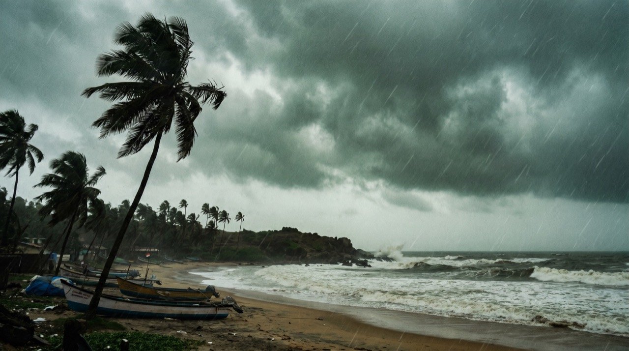
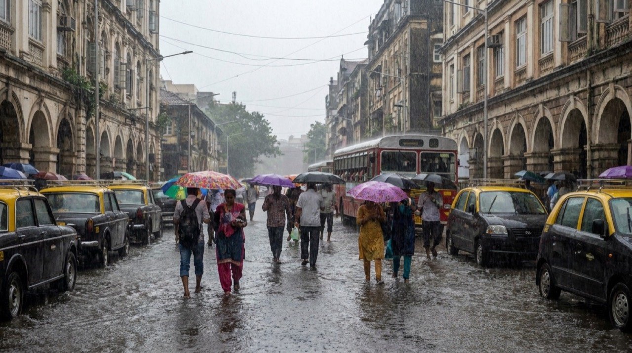
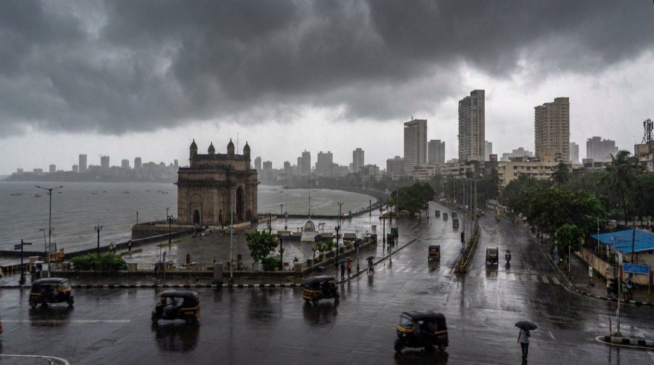
The IMD said the monsoon had advanced further into parts of Gujarat and Madhya Pradesh, the remaining parts of Maharashtra, and more of Chhattisgarh and Jharkhand. Heavy to very heavy rain, accompanied by gusty winds and thunderstorms, was forecast for Mumbai and the Konkan coast, while the northeast and Sub-Himalayan West Bengal and Sikkim were warned of 7 to 20 cm spells through the week.
In the hills, the remnants of a western disturbance brought light to moderate rain across Himachal Pradesh, Jammu and Kashmir and Uttarakhand, with the Shimla centre noting conditions had turned favourable for the monsoon to push further into the state over the following days.
Heat refuses to break
Even as clouds gathered in the west, isolated heatwave to severe heatwave conditions persisted over Vidarbha, Odisha, Bihar and adjoining areas. Across Delhi-NCR, Punjab, Haryana and western Uttar Pradesh, maximum temperatures hovered between 38 and 42 degrees Celsius, with humid, sticky conditions adding to discomfort.
- Monsoon advanced into Gujarat, central India and more of the east
- Heavy rain and thunderstorms forecast for Mumbai and Konkan
- Northeast braced for 7 to 20 cm rainfall spells during the week
- Severe heat persisted over Vidarbha, Odisha and Bihar
- Delhi-NCR endured humid heat with highs of 38 to 42 degrees Celsius
An uneven, El Nino-shadowed season
The split map reflects an uncertain season. The monsoon reached Kerala on 4 June, later than normal, and the IMD has flagged below-normal rainfall at around 90 percent of the long-period average, with El Nino conditions expected to develop and suppress rains. For farmers and water managers, the patchy advance and lingering heat sharpen worries over sowing schedules and reservoir levels in the weeks ahead.
The NE Times View
A monsoon drenching the centre while the east bakes is becoming the new normal, and that volatility is the real story. The NE Times View: India's disaster and agriculture planning is still built for predictable seasons, not for a country split across extremes on the same day. Adapting cropping, water storage and heat-action plans to this whiplash is no longer optional.
This article is original commentary and analysis by The NE Times. Background facts were referenced from The Hindu and Hindustan Times.
You may also like to read
IMD Flags Heavy Rain And Heat Alerts As India's Weather Map Splits
India faces a divided weather map this week, with the IMD warning of heavy rainfall across several states even as parts of the north and centre swelter under high temperatures and heat stress.
Monsoon Spreads Across South and East India as IMD Tracks Advance
The southwest monsoon, which arrived early over Kerala in late May, has advanced across much of southern and eastern India through early-to-mid June, though cumulative June rainfall has run below normal.
Monsoon Advances Toward Mumbai and Eastern India as Rain Alerts Issued
The southwest monsoon has resumed its march after a brief pause, with weather agencies forecasting widespread and locally heavy rain across Mumbai, Maharashtra, eastern and central India.
IMD Confirms Southwest Monsoon Onset Over Mumbai After Delayed Spell
The India Meteorological Department has confirmed the Southwest Monsoon's arrival over Mumbai on June 23, bringing relief after a dry, unusually warm early June and pushing the city into full monsoon readiness.
More from this section
More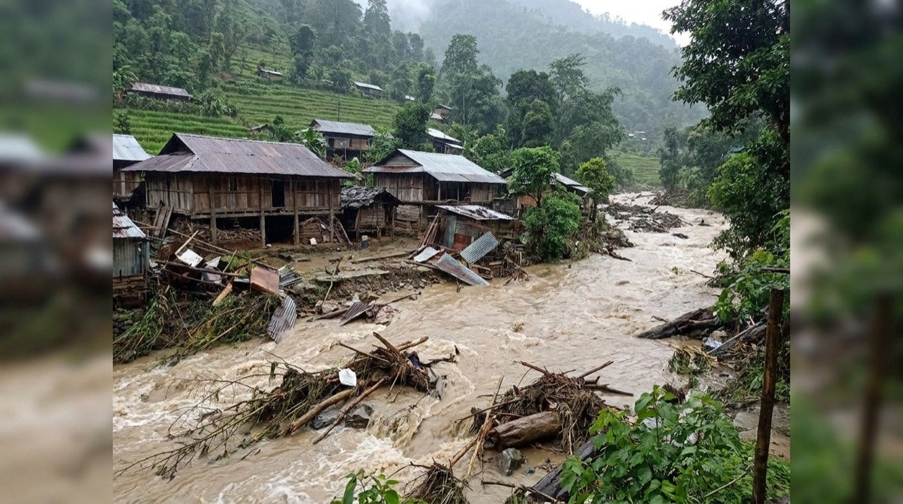
Arunachal Flash Flood Sweeps NEEPCO Colony in Keyi Panyor, One Dead and Four Missing
A pre-dawn cloudburst-like spell on 24 June triggered flash floods and landslides that swept away semi-permanent homes near a hydel project in Arunachal Pradesh, killing one and leaving four missing.

Project Hawk Eye: AI, Drones and Snipers to Guard the Amarnath Yatra
Anantnag police have unveiled Project Hawk Eye, a layered surveillance net of drones, facial recognition, hundreds of CCTV cameras and sniper teams to secure the 2026 Amarnath Yatra beginning 3 July.
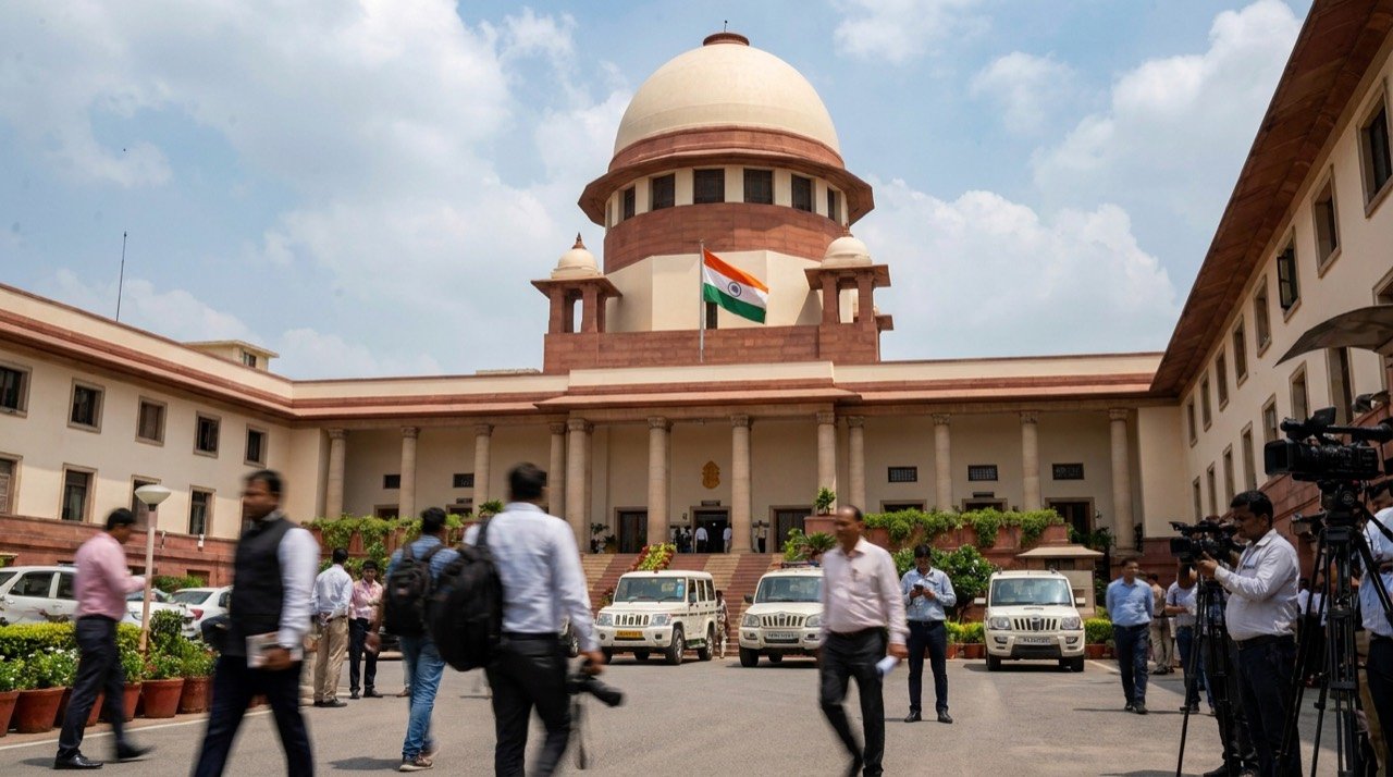
Supreme Court Recall of Ban on Retrospective Green Clearances Sparks Pollution-Law Debate
A 2-1 majority recall of the 2025 verdict outlawing ex post facto environmental clearances has reopened a fierce debate over whether penalties can substitute for prior approval on major projects.