IMD Warns of Heavier Rain in East and Northeast India as Monsoon Risks Shift Across the Country
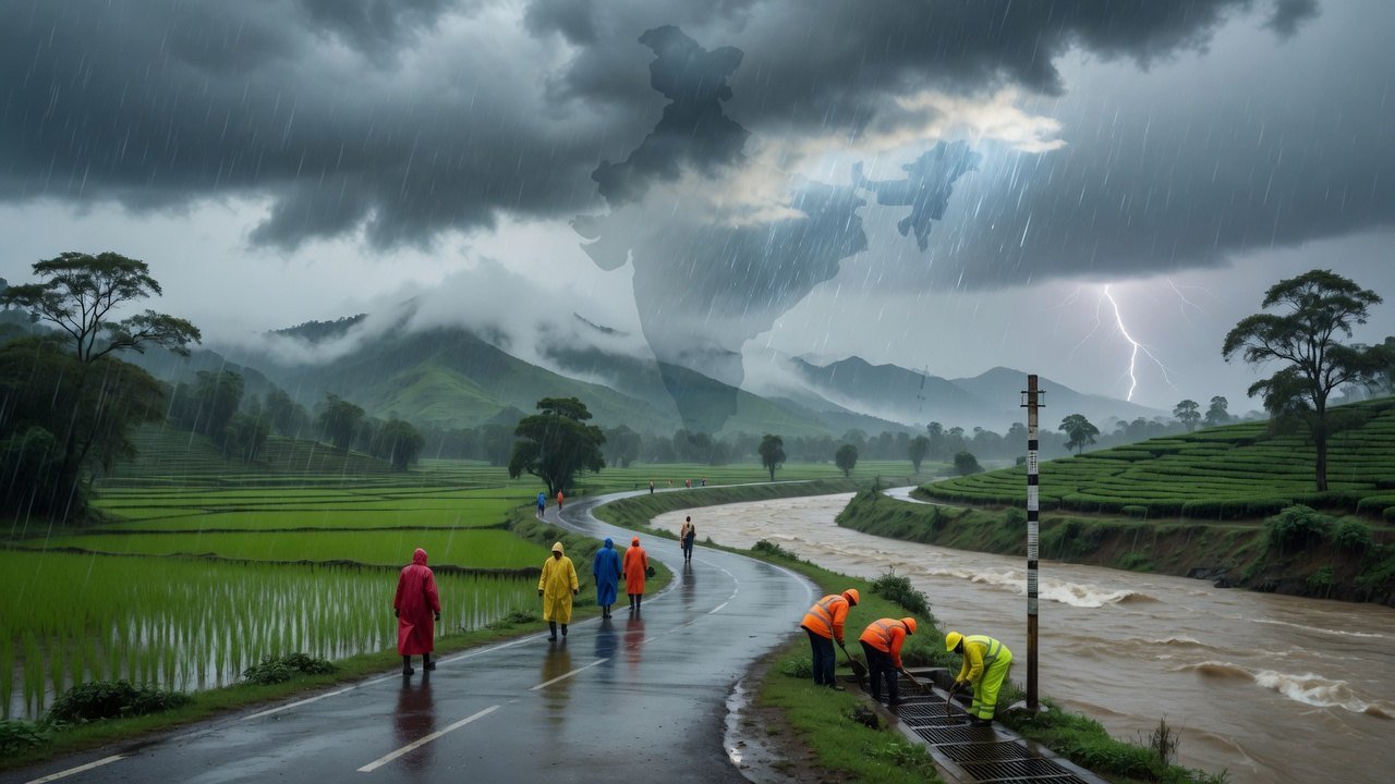
IMD expects increased rainfall over east and northeast India, eastern Uttar Pradesh and the western Himalayas, while activity remains subdued in several western and southern regions.
Commentary & Analysis ·
Verified key facts
- IMD's 15 July release forecast increased rainfall over east and northeast India, eastern Uttar Pradesh and the western Himalayan region during the next seven days.
- Rainfall is expected to remain subdued over west-central and south peninsular India for seven days and the northwest plains for five days.
- Short-duration alerts also warned of thunderstorms, lightning and gusty winds in multiple states.
The monsoon map is becoming more uneven
India’s weather picture on 15 July is not a single nationwide story of heavy rain. The India Meteorological Department expects rainfall activity to increase over eastern and northeastern India, eastern Uttar Pradesh and the western Himalayan region during the coming week, with heavy falls at some locations. At the same time, it forecasts subdued activity over west-central and south peninsular India for about seven days and over the plains of northwest India for roughly five days. Short-duration warnings have also highlighted thunderstorms, lightning and gusty winds in multiple states. This contrast is crucial for public communication. A national headline saying “heavy rain across India” can cause unnecessary alarm in one region while understating serious flood or landslide risk in another.
Where the highest risks are concentrated
Eastern and northeastern states are especially vulnerable when repeated heavy rain falls over already saturated ground. Odisha, Bihar, Jharkhand, West Bengal, Assam, Meghalaya and Arunachal Pradesh have appeared in current forecast coverage, while eastern Uttar Pradesh and Himalayan states also require close attention. The principal hazards differ by terrain. Plains and cities face waterlogging, drainage overflow and river flooding. Hill districts face landslides, rockfall and road closure. Thunderstorms add lightning risk to farmers, outdoor workers and people sheltering under isolated trees. Gusty winds can damage weak structures and disrupt power lines. Residents should follow district-level warnings rather than rely only on state-wide summaries.
Why a low-pressure system changes the forecast
Active monsoon troughs and low-pressure areas help pull moisture from the Bay of Bengal and Arabian Sea and organise rainfall over land. Their position can shift the heaviest rain corridor over a relatively short period. That is why IMD updates include nowcasts and short-duration alerts in addition to multi-day forecasts. A district that is outside the main risk zone in the morning can still experience a severe thunderstorm later. Conversely, a broad heavy-rain forecast does not mean continuous rain everywhere. Probabilistic warnings should be understood as risk guidance, not a promise that every neighbourhood will receive the same amount.
The contradiction between rain alerts and subdued activity
Readers may see one headline warning of heavy rain in thirteen states and another saying monsoon activity will be subdued. Both can be accurate because they refer to different places and time scales. “Subdued” means lower overall activity than normal or than the preceding spell across a broad region; it does not exclude isolated thunderstorms. “Heavy rainfall” is a local intensity category that can occur even during a generally weak phase. Geography and dates belong up front so the terms are not misread as a forecasting failure. The official 15 July release makes the regional divide explicit.
Practical safety for households and travellers
People in warned districts should avoid unnecessary travel through flooded underpasses, low bridges and landslide-prone roads. A shallow-looking current can move a vehicle, and water can conceal open drains or damaged surfaces. Hill travellers should check road and district-administration updates before departure and build extra time into plans. Households can charge phones, protect documents, keep essential medicines accessible and move valuables above likely water level. During lightning, the safest option is a substantial building or enclosed vehicle, not a tree, open shelter or rooftop. Fishermen and small-boat operators should follow marine advisories closely because gusty winds can develop faster than conditions appear from shore.
Agriculture faces opposite risks
The uneven monsoon creates difficult decisions for farmers. Areas with subdued rain may need irrigation planning and protection of newly sown crops from moisture stress. Areas receiving repeated heavy rain may face waterlogging, root damage and delayed field work. Advisory services should therefore be crop- and district-specific. A national rainfall average cannot tell a farmer whether to sow, drain or irrigate a particular field. The same unevenness also affects food prices: insufficient rain can reduce yield expectations, while excessive rain can damage vegetables and interrupt transport. Weather and inflation are connected through these local disruptions.
How to follow the forecast responsibly
The most reliable approach is to combine IMD’s official warnings with state disaster-management and local administration updates. Social-media graphics should be checked for their issue time because a colourful map may remain in circulation after the forecast has changed. Weather apps are useful for general planning, but severe-weather decisions should be based on official alerts. The current outlook calls for vigilance rather than nationwide panic. East and northeast India, eastern Uttar Pradesh and the western Himalayas face the stronger multi-day rain signal, while several western and southern areas may see quieter conditions. The monsoon’s danger lies precisely in that unevenness: risk is concentrated, mobile and local. Clear attention to geography can turn a dramatic headline into useful action.
Why this story matters beyond the headline
Residents should treat colour-coded warnings as prompts for preparation, not as guarantees that every neighbourhood will receive the same rainfall. Monsoon impacts depend on local drainage, slope stability, river levels and the timing of intense bursts. A moderate regional total can still produce severe urban flooding if rain falls within an hour, while prolonged rain in hill districts can trigger landslides after the clouds have moved on. State disaster agencies and municipal bodies therefore need to combine IMD forecasts with ground observations and river-basin data. Travellers should check road and rail updates, avoid flooded underpasses and never attempt to cross fast-moving water. Farmers may benefit from rainfall in some districts but face crop damage or delayed field work in others. The changing risk map also underscores why weather coverage should name affected regions and dates precisely. Broad claims that all of India faces the same conditions can cause both panic and complacency, undermining useful local warnings.
Sources
- India Meteorological Department - subdivision-wise warnings and 15 July release
- Moneycontrol - heavy rain and gusty wind alert coverage
You may also like to read
Monsoon advances across the country in June, but IMD warns of a below-normal season
After reaching Kerala on 4 June, the southwest monsoon has spread into eastern and central India, even as the weather office trims its seasonal rainfall forecast to 90% of the long-period average.
India Monsoon Outlook 2026: Heavy Rain Risk Persists in the Northeast, West Bengal and Bihar
The latest IMD outlook shows a sharply divided monsoon pattern, with intense rainfall risks in eastern and northeastern India while activity is expected to ease across several other regions.
Monsoon Revival Forecast Triggers Rain Alerts Across India as Heat Lingers
India's southwest monsoon is set to regain strength this week, bringing very heavy rain to the Northeast and Maharashtra even as central districts stay under heatwave warnings.
Monsoon Spreads Across South and East India as IMD Tracks Advance
The southwest monsoon, which arrived early over Kerala in late May, has advanced across much of southern and eastern India through early-to-mid June, though cumulative June rainfall has run below normal.